Gombori Pass
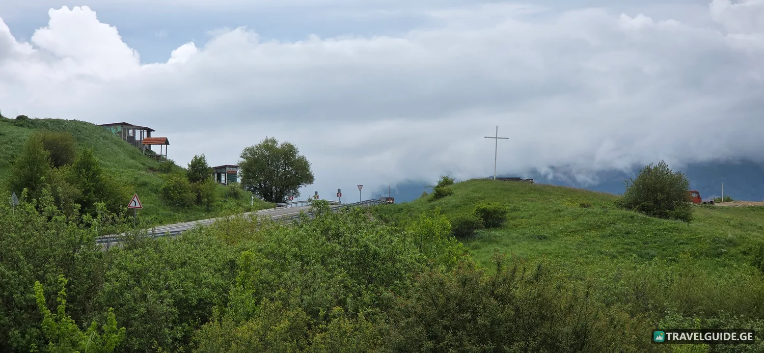
Gombori Pass, peaking at an elevation of 1,620 meters, functions as the primary geographical divider between the Iori River basin and the Alazani Valley in eastern Georgia. Situated within the Sagarejo Municipality, this mountainous saddle cuts directly across the Tsiv-Gombori Range, serving as the most direct geographical link between the capital city of Tbilisi and the royal city of Telavi.
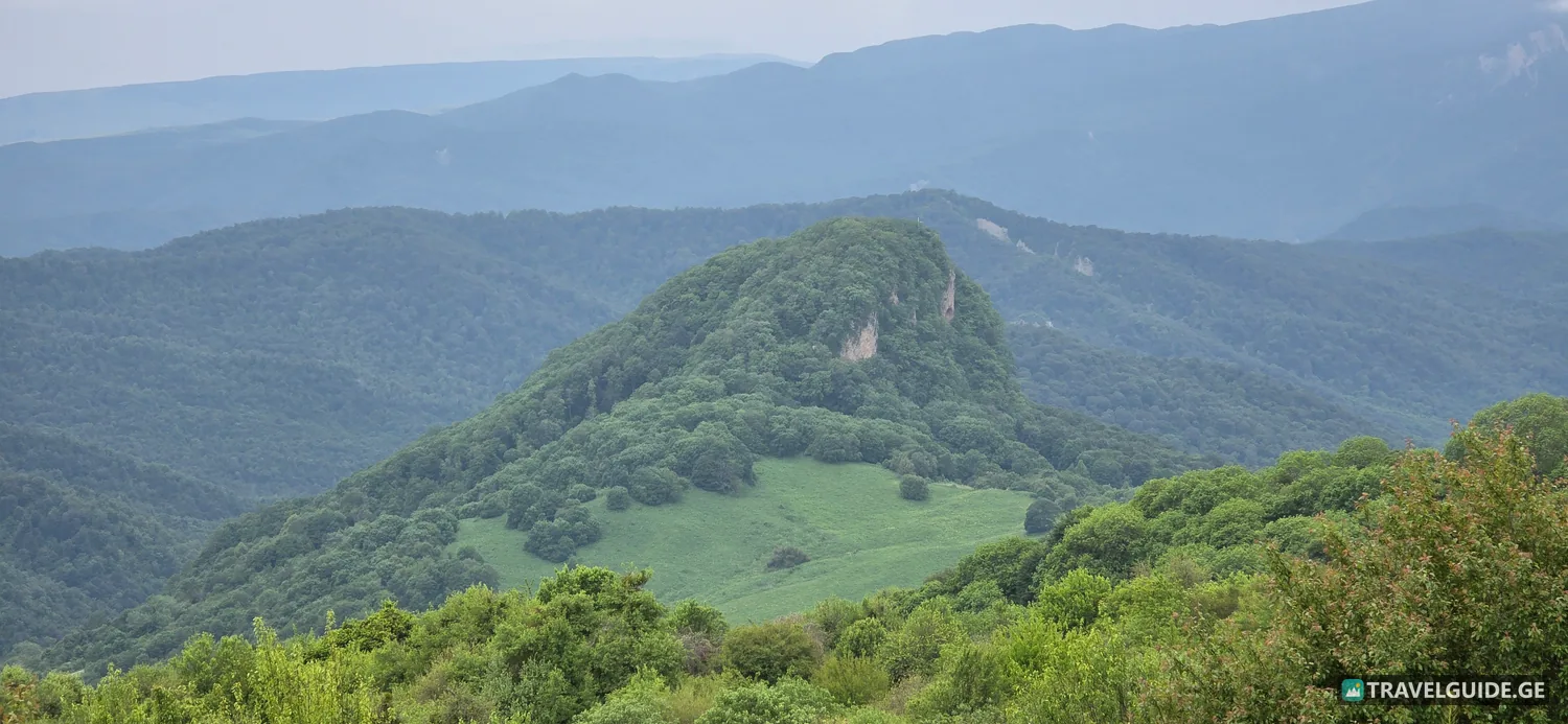
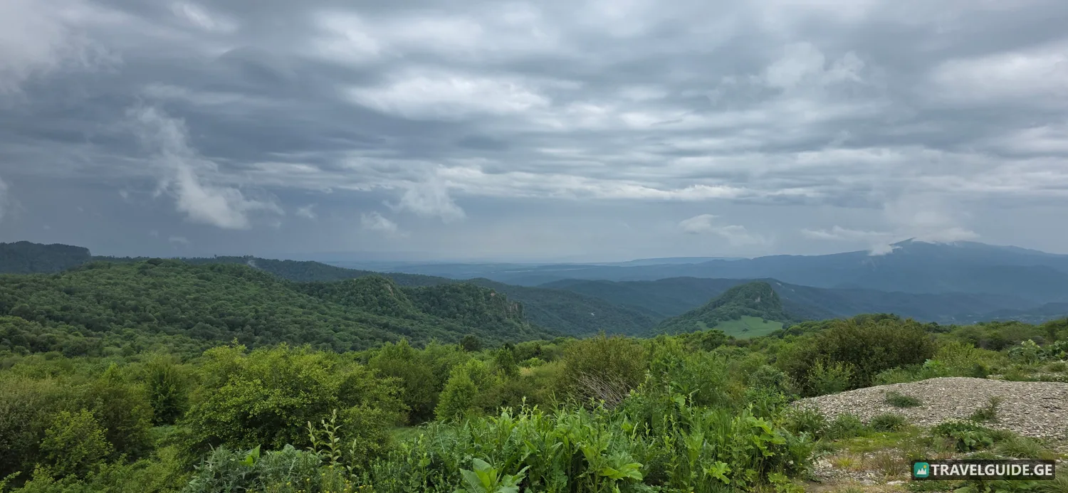
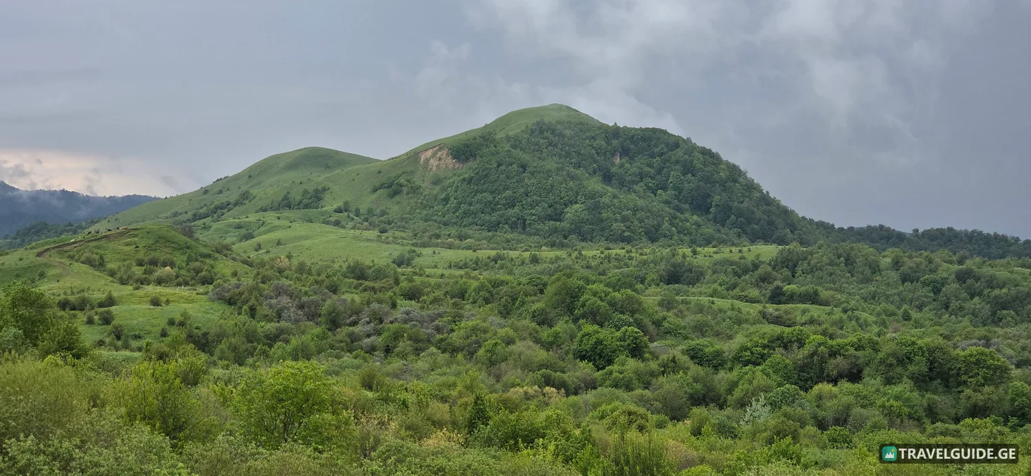
The landscape defining the pass represents a dramatic shift in geological and ecological zones. As the elevation rises, the dry, rolling steppe of the lower plains transitions abruptly into dense, ancient woodlands. The upper elevations of the Tsiv-Gombori ridge are dominated by deciduous broadleaf forests, primarily composed of oriental beech, hornbeam, and Caucasian oak, which eventually yield to subalpine meadows near the summit.
Throughout antiquity, this geographical corridor was heavily traversed by merchants, royal retinues, and advancing armies. Its strategic positioning allowed those who controlled the heights to monitor movements across the Kakheti kingdom. The towering peaks of the Greater Caucasus Mountains, visible clearly from the northern descent, serve as a constant geographical backdrop, framing the dense valleys below.
Geological Evolution of the Tsiv-Gombori Range
The structural foundation of the Tsiv-Gombori Range is a result of intense tectonic uplift during the Cenozoic Era. This folded mountain system runs almost parallel to the Greater Caucasus, forming a formidable barrier that dictates the regional microclimates.
- Sedimentary Composition: The ridges are predominantly composed of tertiary sandstones, clays, and conglomerates.
- Erosional Features: Millennia of water runoff from seasonal snowmelt have carved deep ravines and V-shaped valleys into the mountain flanks.
- Seismic Activity: The entire zone remains geologically active, with minor tectonic shifts continually shaping the steep inclinations of the pass.
Ecological Diversity and Mountain Flora
The distinct altitudinal zonation along Gombori Pass creates specific ecological niches. The high-altitude environment supports a specialized ecosystem adapted to cold winters and high precipitation.
- Lower Elevations (800m - 1,200m): Dominated by mixed deciduous forests, including prominent stands of Caucasian hornbeam and chestnut.
- Upper Elevations (1,200m - 1,620m): The timberline is marked by resilient oriental beech trees, giving way to high-altitude shrubs and herbaceous subalpine flora.
- Endemic Fauna: The dense undergrowth provides critical habitat for roe deer, wild boars, and avian predators such as the Caucasian buzzard and golden eagle.
Historical Corridors and Strategic Importance
Long before modern infrastructure mapped the terrain, the path over the Gombori mountains was a vital artery for the Kingdom of Kakheti. Historical records indicate that control over this route was fiercely contested during invasions by the Persian and Ottoman empires in the 16th and 17th centuries.
The proximity of the pass to the formidable Ujarma Fortress, established in the 3rd century AD, underscores its defensive significance. Kings of Iberia fortified the western approaches to the pass to protect the fertile Alazani Valley from incursions. The remnants of watchtowers and rudimentary stone blockades hidden within the forests provide evidence of a highly militarized past along these alpine ridges.